
Reliable Existing-Condition Data
Capture the geometry of your building to support design decisions and reduce uncertainty before work begins.



BENEFITS
Capture the geometry of your building to support design decisions and reduce uncertainty before work begins.

Get point clouds, CAD drawings or Revit and Archicad models prepared to your agreed project requirements.

Work directly with the specialist responsible for the survey, project coordination and final quality review.
SERVICES
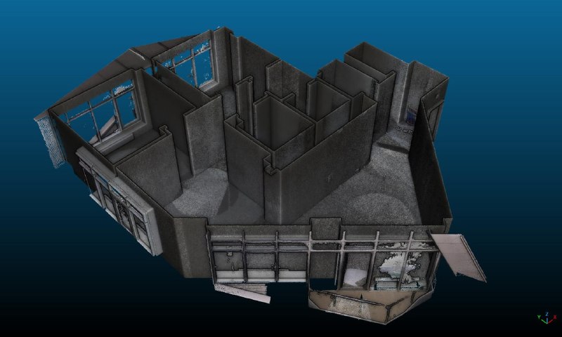
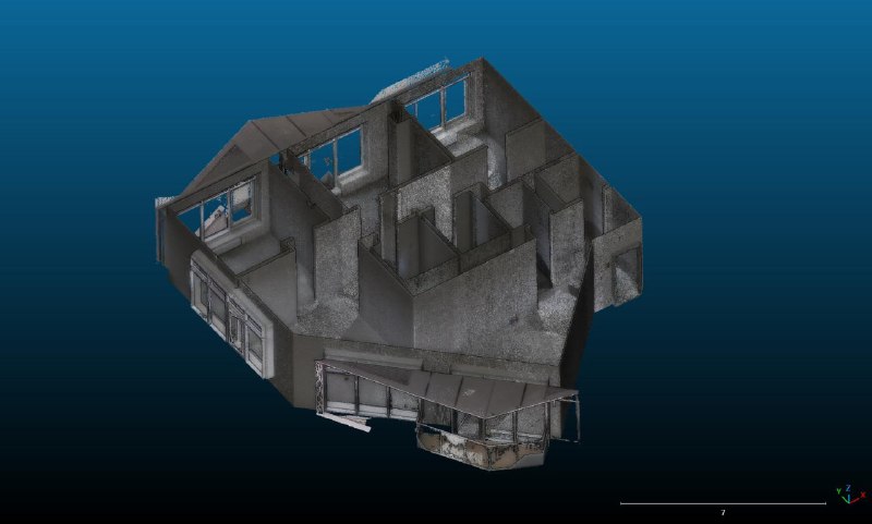
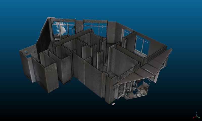
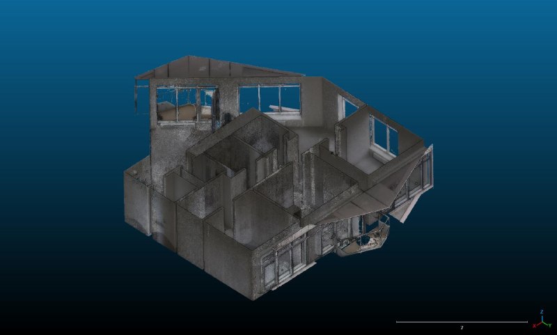
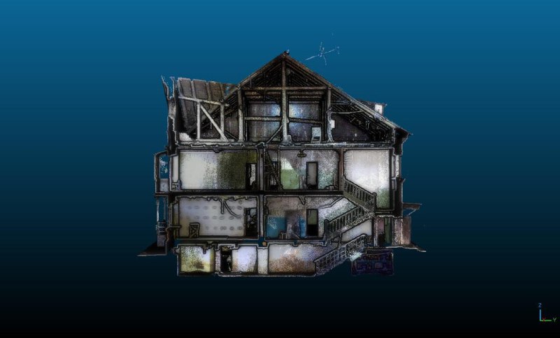
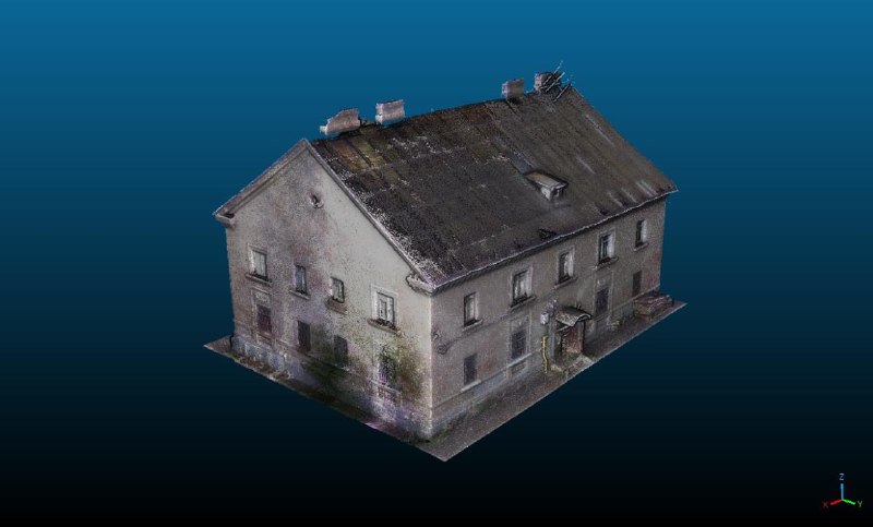
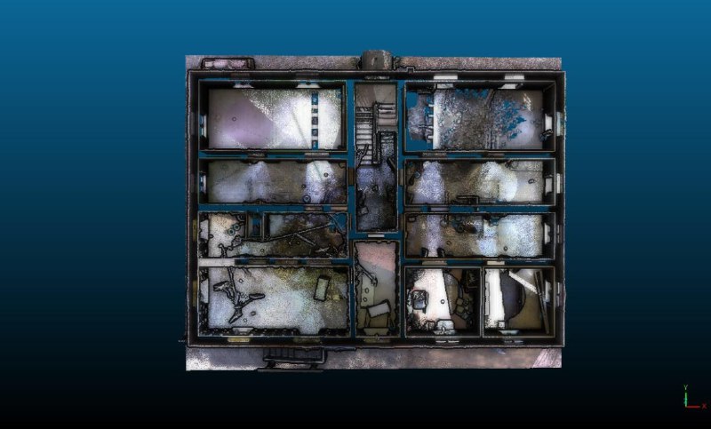
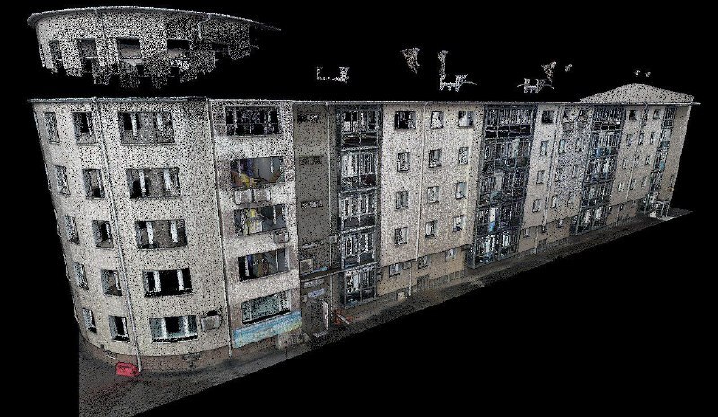
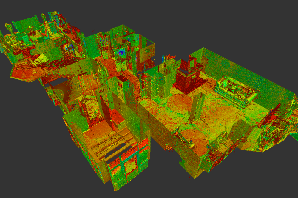
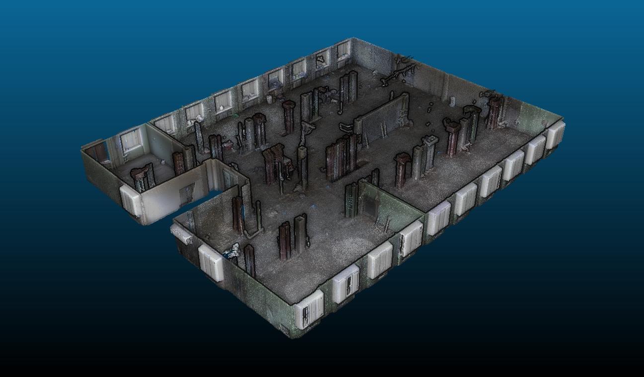
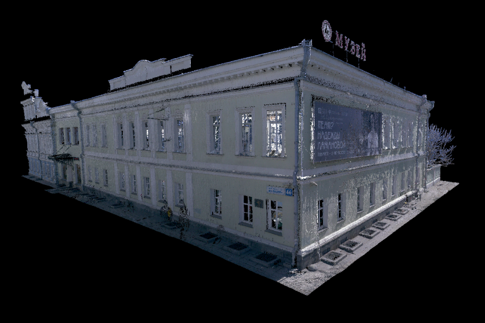
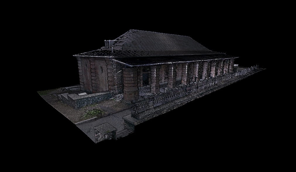
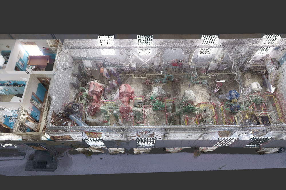
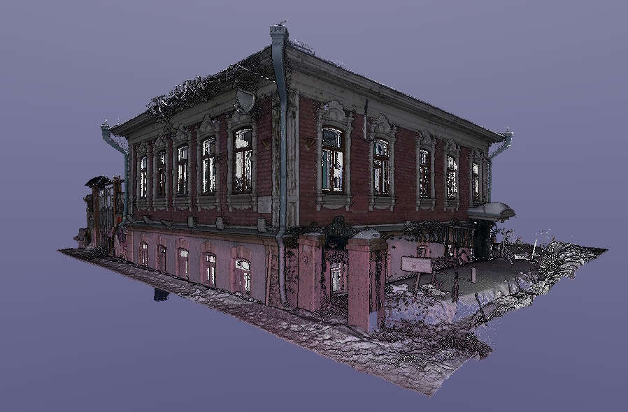
We create a digital 3D representation of your building or property as a point cloud with precise spatial coordinates.
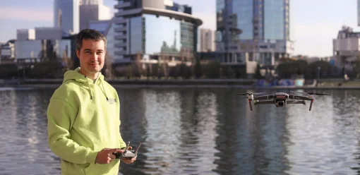
We collect spatial data using a camera or camera-equipped drone and process it with photogrammetry. The result is a point cloud or orthophoto.
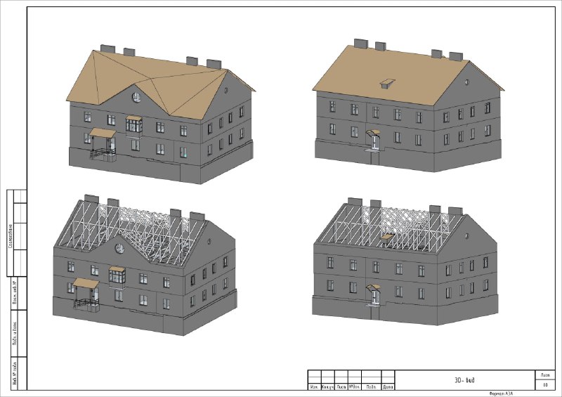
We prepare 3D building and interior models in Autodesk Revit and Graphisoft Archicad based on laser-scanning and photographic data.
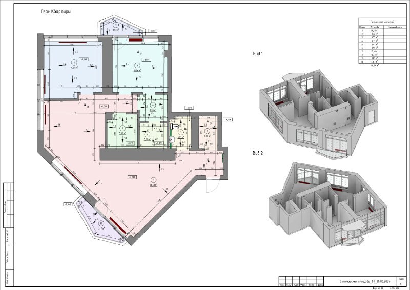
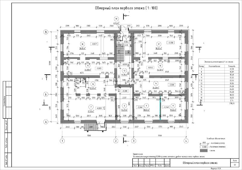
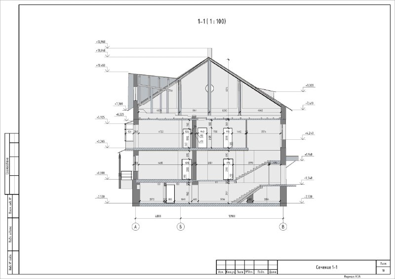
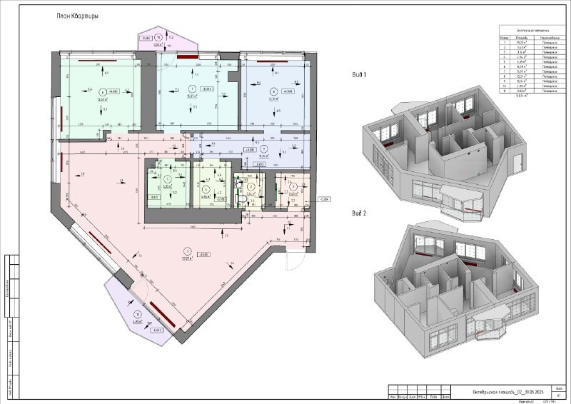
We produce wall elevations, engineering drawings and measured floor plans in Autodesk AutoCAD based on laser-scanning and photographic data.
Interactive 360° tours for properties, hotels, commercial spaces and construction sites.
FROM REALITY TO PROJECT DATA
A point cloud is only the beginning. Turn existing conditions into data your project team can use.
Capture the building’s geometry with an on-site laser survey.
ON-SITE CAPTURERegister and process the scans into a detailed digital record.
E57 / RCPCreate measured floor plans, sections and elevations.
DWG / PDFBuild a Revit or Archicad model to support design and renovation.
REVIT / ARCHICAD / IFCChoose the outputs your project needs. Deliverables, formats and level of detail are agreed before the survey starts.
SELECTED PROJECTS
PROCESS
Send the location, approximate area and what you need. Plans or photos help.
We agree the scope, deliverables, price and delivery schedule.
We sign the contract and schedule the survey after a 50% advance payment.
We scan on site and prepare the agreed point cloud, drawings or BIM model.
We check and deliver the agreed files. You settle the remaining payment.
LET’S DISCUSS YOUR PROJECT
Planning a renovation or need accurate existing-condition data? Tell us about your property or project in Montenegro. We will clarify the scope and prepare a project proposal.
Minimum order: 200 EUR for laser scanning and registered point cloud preparation. Drawings, BIM modelling and travel are quoted separately according to the agreed scope.
Not sure which files you need? Tell us what you are planning — we will help you choose.
Already have plans or photos? Send them via WhatsApp or info@cadstories.com.
EQUIPMENT
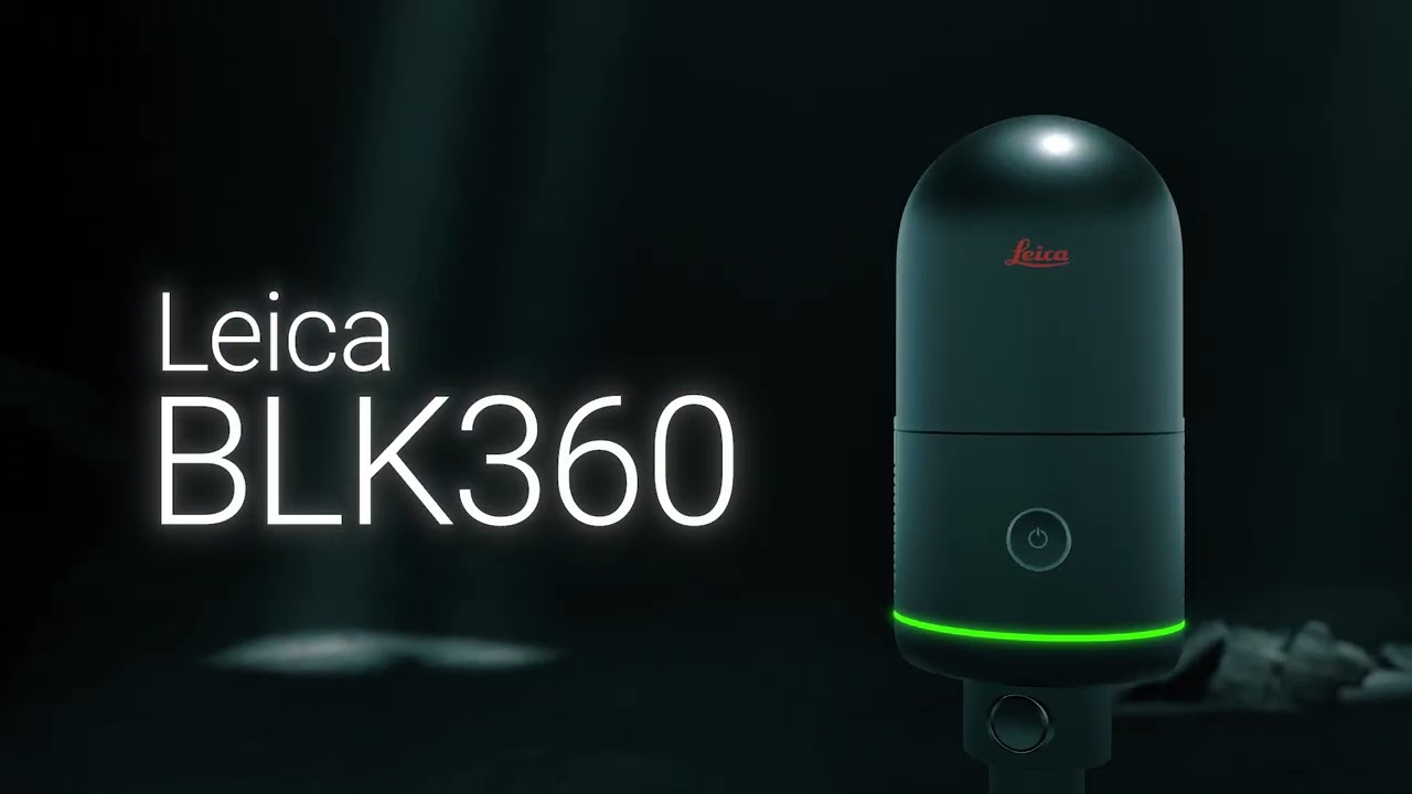
Laser scanning of buildings and interiors
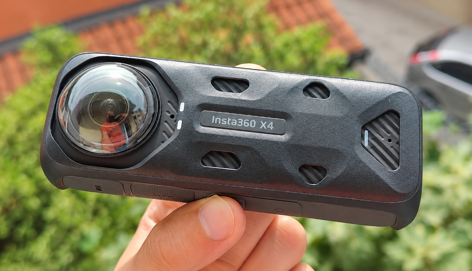
360° panoramic capture and virtual tours
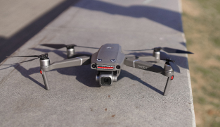
Aerial photography and photogrammetry
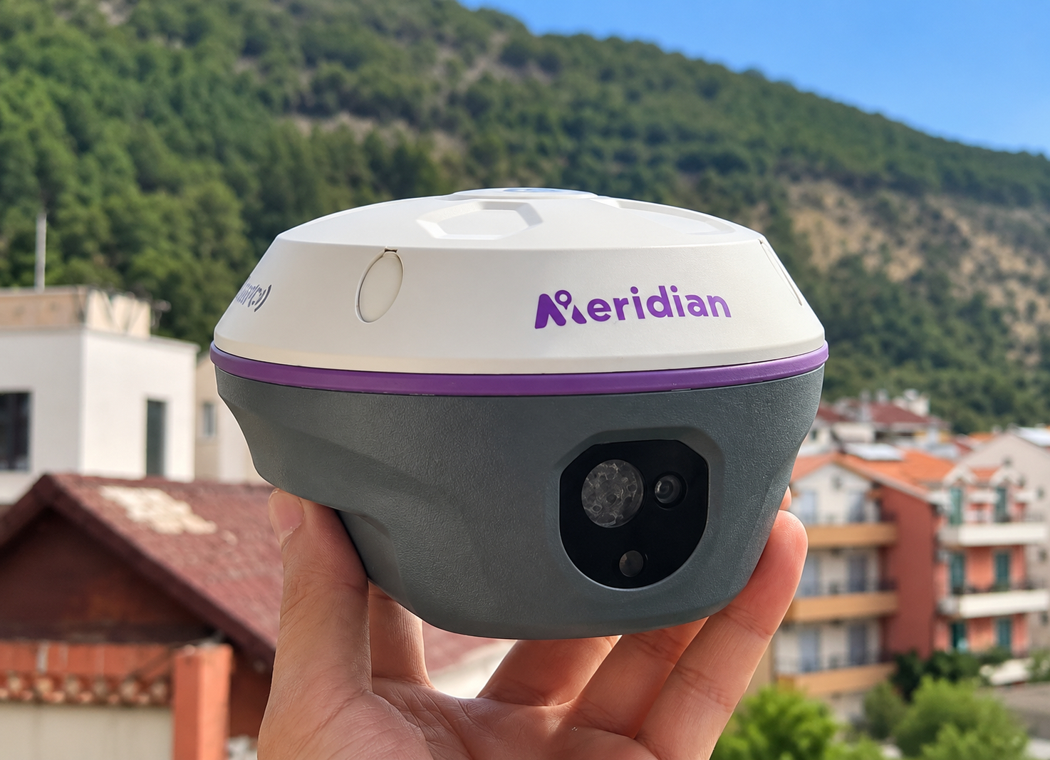
GNSS positioning and georeferencing
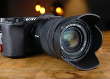
Detailed photography for photogrammetry
THE PEOPLE BEHIND THE DATA
LASER SCANNING · MODELLING · DRAWINGS
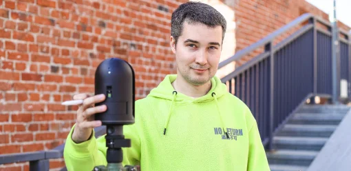
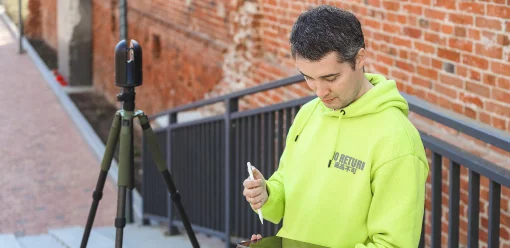
I am based in Budva, Montenegro, and have worked in laser scanning, modelling and drawing preparation since 2020. My experience with different types of equipment covers the complete workflow — from on-site capture to final project files.
MODELLING SUPPORT
I work with a modelling specialist experienced in Revit, AutoCAD, Archicad and Leica Cyclone 3DR. Together, we prepare models and drawings to suit each project’s agreed requirements.
FROM THE BLOG
Project stories, practical survey experience and equipment reviews.
CONTACTS
Based in Budva, Montenegro. On-site laser scanning for apartments, villas, hotels and buildings in Budva, Kotor, Tivat, Herceg Novi, Bar and Podgorica, with surveys across the country. Get in touch to agree the point cloud, measured drawings or BIM model your project needs.
The website is available in English, Crnogorski and Russian. You can contact us via info@cadstories.com or WhatsApp.